Locate Us
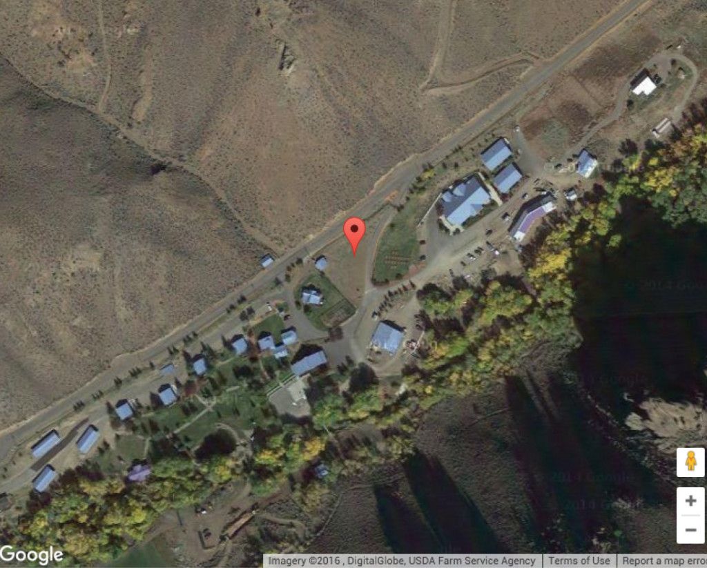
Living Waters Ranch is 4.2 miles west of US 93 on Main Street (also called Garden Creek Road and the Old Custer Motorway). At the intersection of US 93 and Main Street turn west and drive up the canyon. The road ascends 900 feet of elevation in the next 4.2 miles. You will recognize the ranch for its distinctive blue metal roofing. Challis is in the central mountains of Idaho. It is northwest of Idaho Falls, east northeast of Boise, north of Twin Falls and Sun Valley, and south of Missoula , MT.
From Idaho Falls - Take US 20 (Broadway Ave) west to Arco. At the only light in Arco US 20 turns left to the southwest and US 93 joins. Continue straight through the light to Mackay and Challis. You are now on US 93 North. Challis is less than 90 minutes away. Travel time from Idaho Falls is 2 hours and 30 minutes at the speed limit. From Blackfoot on I-15 take US 26 west until it joins US 20 - 20 miles east of Arco, then use directions above from Arco. Antelope along with deer and elk can be seen when taking this road.
Living Waters Ranch is located on 142 acres near scenic Challis, Idaho.
From Boise - Take ID 55 North through Horseshoe Bend, at Banks turn right to the east going through Garden Valley. In another 25 miles turn left (ENE) on ID 21 at Lowman. Follow ID 21- 59 miles to Stanley. Turn left on ID 75 North and follow the Salmon River downriver for 56 miles. When the road T's at US 93, turn left (N) and travel 2 miles until you come into Challis. At the Welcome Sign and the sign that says City Center turn left. From there see the directions above when turning on Main Street. Travel time for this primary route is 3 hours 40 minutes. Sometimes during winter this road is closed. Call 336-6600 for road conditions or 888-432-7623 if outside Ada or Canyon Counties.
First alternate route from Boise - Take I-84 East to Mountain Home. Turn east on US 26 and travel through Fairfield, Picabo, Carey, Craters of the Moon to Arco. Turn left on US 93 and follow above directions from Arco. Travel time is 4 hours 30 minutes. This route goes through the mountains, forests, and streams. Deer, elk, and sometimes moose are seen from the road.
Second alternate route from Boise - Take East I-84 from airport. In approximately 85 miles take US 26 East at Gooding. In another 27 miles at Shoshone US 93 North joins you. Continue on US 93 North into Challis. This is the flattest and best winter route with a travel time of 5 hours.
From Twin Falls - Take US 93 North until Challis. Travel time is 3 hours 15 minutes. Alternate route through Sun Valley and Stanley Basin. This takes more time with traffic and sites, too.
From Missoula, MT - Take US 93 South going through the Bitterroot Valley and over Lost Trail Pass to Salmon and Challis. Travel time is 3 hours 30 minutes.
Airports - Idaho Falls Airport is the closest to Challis and LWR. Horizon Airlines and Skywest, the Delta Connection serve Idaho Falls. Boise, Salt Lake City, and Missoula Airports are served by most the major carriers. Twin Falls and Sun Valley Airports are served by minor carriers and are less direct. Challis Airport, which is 4600 feet long at 5070 feet of elevation, serves private aviation.